
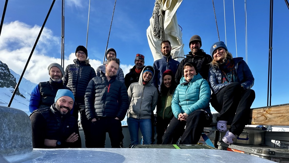
We have just released the TANGO2 expedition report. The report will give you an overview of the activities of the TANGO2 team in the West Antarctic Peninsula, onboard RV Australis.
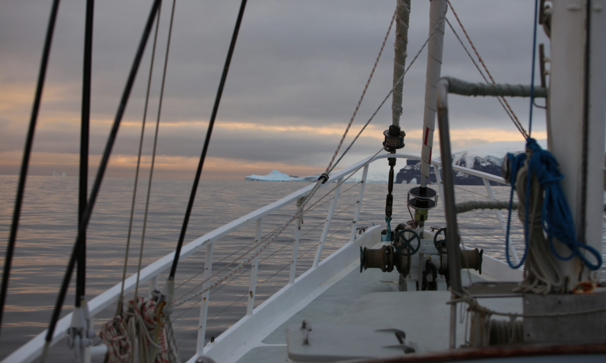
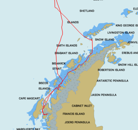
The TANGO2 expedition ventured to accumulate new information and samples to delineate responses of marine ecosystems to shifts in ice regimes in the West Antarctic Peninsula (WAP), taking full advantage of a nimble sampling platform, the R/V Australis, a steel hulled, fully rigged motor sailor. TANGO2 took place between February and March 2024, sampling three main locations at different spatial scales. Deploying 11 different types of gear (both traditional and modern), the TANGO2 Team gathered over 4000 physical samples that will be brought back to Belgium for further analysis. The Team focused on synchronized, transdisciplinary sampling to understand the linkages between realms (atmosphere, water column, seafloor) and there potential responses to changes in climate- changed linked ice regime at various spatial scales.
Once more, the use of R/V Australis for coastal studies deemed to be extremely efficient, in terms of environmental impact (ca. 40 times less CO2 emissions than a Polar class icebreaker) and agility, allowing the Team to adapt the sampling efforts in function of the weather or anchoring conditions. Fully devoted to the expedition, the ship allowed the TANGO2 team to sample in shallow areas, not accessible to icebreakers and too far away from research stations, and which have been under sampled (based on data available from the reference information system for Antarctic marine biodiversity data, biodiversity.aq). The preliminary (meta)results accumulated during TANGO2 confirm the efficiency of using a nimble research platform to study fine-scale processes in the shallow areas of unchartered regions of the West Antarctic Peninsula. TANGO2 provides a first-hand experience to carry an future expeditions taking advantage of the low cost/low environmental impact approach, coherent with environmental conservation. Based upon Open Science approach, the combination of B121/TANGO1 and now TANGO2 efficiency in designing informed, focused expeditions, paving the way to transposing the concept developed by Danis et al. (2022) to multiply similar efforts in a coordinated fashion.
An overview of initial results is provided below:
- Concept and Sampling design
The preliminary (meta)results accumulated during TANGO2 confirm again the efficiency of using a nimble research platform to study fine-scale processes in the shallow areas of unchartered regions of the West Antarctic Peninsula. Based upon Open Science approaches, the concept tested and improved during the B121/TANGO1/TANGO2 paves the way to transposing the concept, and to multiply/coordinate similar efforts in different oceans. - Mapping
Despite being rather sensitive to environmental conditions (strong wind velocity, compass interference with vessel, takeoff/landing delicate from vessel), deployment of drones was found to be useful in terms of scouting when arriving in new work sites, documenting their general setup as well as carrying out more sophisticated works including orthomosaic (2D) and photogrammetry (3D). - Environmental parameters
A total of six incubations were performed at every substation. There was no visible difference between the stations or the bottle during the filtration. Sediment traps were deployed successfully after coordinated recovery of the sample bottle and release by divers and
surface recovery. There was less matter compared to TANGO 1 expedition but the sediments seems bigger and more stringy. The three sites seem to have a comparable quantity of particulate matter.
A total of 123 Niskin bottles were taken at the surface. These samples were taken in various environment, including active glaciers, open water and coastal environment without glacier. These samples were taken following the results of the TANGO1 expedition. It showed a potential source of methane at the top of the water column. The hypothesis is that this source come from run-off water from the glacier.
The sampling strategy of TANGO2 have been adapted to this hypothesis to sample sensitive area as glacier with a high velocity. This was done to assess the impact of melting glacier as a source of methane in the West Antarctic Peninsula. - Biogeochemistry
To determine the quantity and distribution of carbon present in the seafloor sediment from different sources, divers pushed 3 perspex cores into the seafloor sediment at each site, aiming for a sediment column of at least 10 cm. After retrieval, the cores were sliced and all samples were immediately stored into a -20 °C freezer.
Two types of incubations were performed: dark incubations, and light incubations, representing the light intensity on the seafloor on a partially overcast day (as measured with HOBO loggers (Scaled instruments) on CTD profiles). Oxygen consumption rates measured in the dark incubations were similar for all the investigated sites, with average rates varying around 20 mmol O2 m-2 d-1. The exception was one of the sediment cores collected next to the wreck of the Guvernøren (Føyn harbor), which had more than double the oxygen consumption as most of the other stations - Trophic analysis
A total of 2259 samples were collected, accounting for 101 different morphospecies sampled in the 6 stations investigated. Samples collected during TANGO2 would enable to refine thjose obtained during TANGO1 and extend the spatial range of study. Indeed, for instance, N. concinna, was found in every station. This will allow comparison of rock habitat among a range of latitude but also compare potential diet differences between rock and soft sediment habitats. Biometry measurements were also taken.
Sampling was performed to characterize gut microsymbionts from sea urchins (Sterechinus neumayeri). The samples will be analysed using different methods: The samples preserved dried (Aristotle’s lantern) will be analysed in ULiège once return in Belgium for trophic niche analyses, The food pellets and gut epithelium samples will be processed at ULB (DNA extraction and PCRs) and send to a sequencing company to assess the diet and microbiome composition. The gonads will be processed at ULB for sea urchin sexing, as well as in Germany for proteomics studies (MALDI-TOF), the spines will be used in Germany for genomics studies (RAD sequencing). - Biodiversity inventories
All sample collected in the different events of Rauschert Dredge and the Amphipod Traps have been partially sorted by main morphotypes on board of RV Australis during the expedition. Representants of the major taxa present in the catch were isolated, identified to the lowest taxonomic level known and counted whenever time and space was available. All
sorted taxa and unsorted subsamples were labeled and fixed in ethanol to be processed further thoroughly in the laboratory.
Regarding Top Predators (Birds and Marine Mammals), a total of 64 observation events (standard counts or punctual observations) were performed while crossing the Magellanic Area (MA), the Drake Passage (DP) and along the Antarctic Peninsula (AP). General notes on the observations for each species encountered during the voyage were taken. Remarkably, very low densities of birds during both crossings of the Drake Passage were observed compared to similar crossings performed at similar dates during previous years. Several species, although normally common or frequently observed during such transect e.g., the Southern Royal Albatross (Diomedea epomophora), Snow Petrel (Pagodroma nivea), White- headed Petrel (Pterodroma lessonii), Antarctic Petrel (Thalassoica antarctica), Kerguelen Petrel (Lugensa brevirostris) or Blue petrel (Halobaena caerulea) were absent during this voyage.


